
Built from the subsurface up.
Curated, analytics-ready upstream datasets across major U.S., Canadian and Argentine basins: well headers, production, lateral surveys, completions, permits, DUCs, landing zones, spacing, parent-child relationships and proprietary subsurface attributes, joined at the wellbore.
Tessera is not an engineering application that happens to contain some data. It is an intelligence platform that owns the data layer and the analytical layer above it.
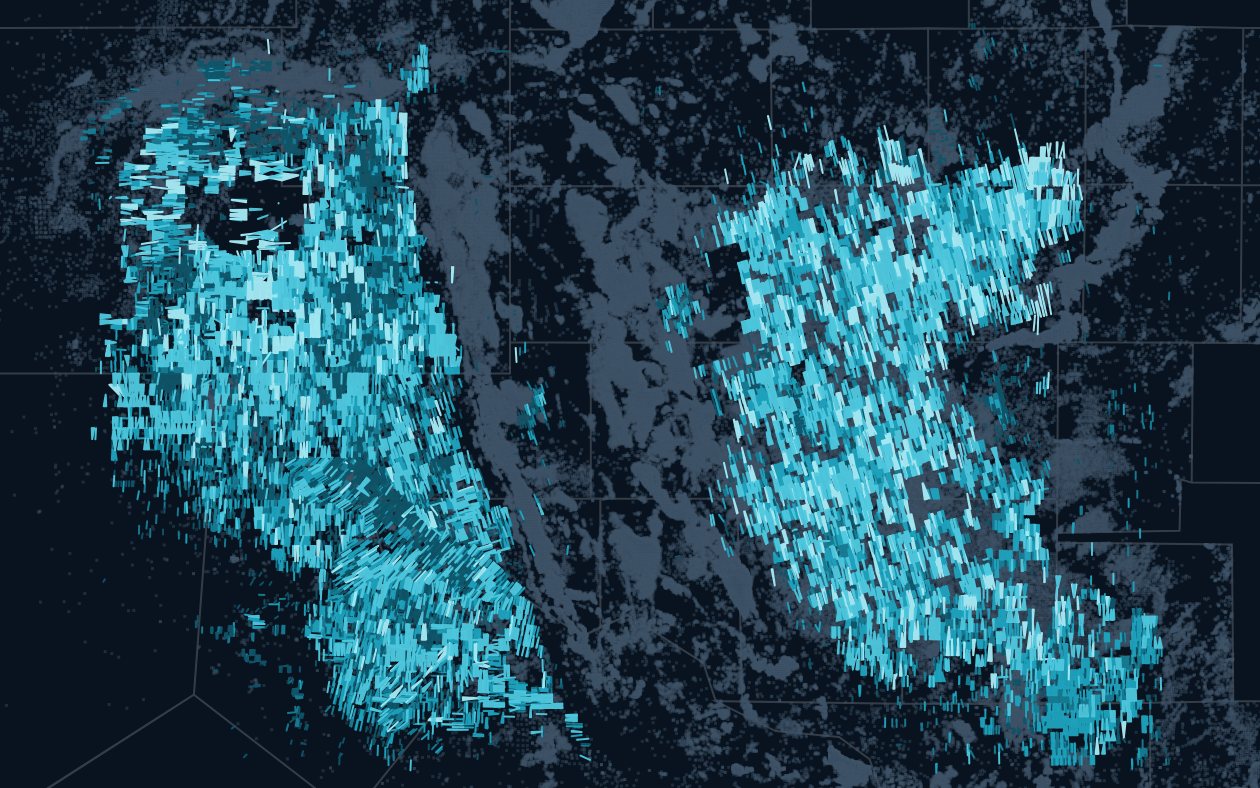

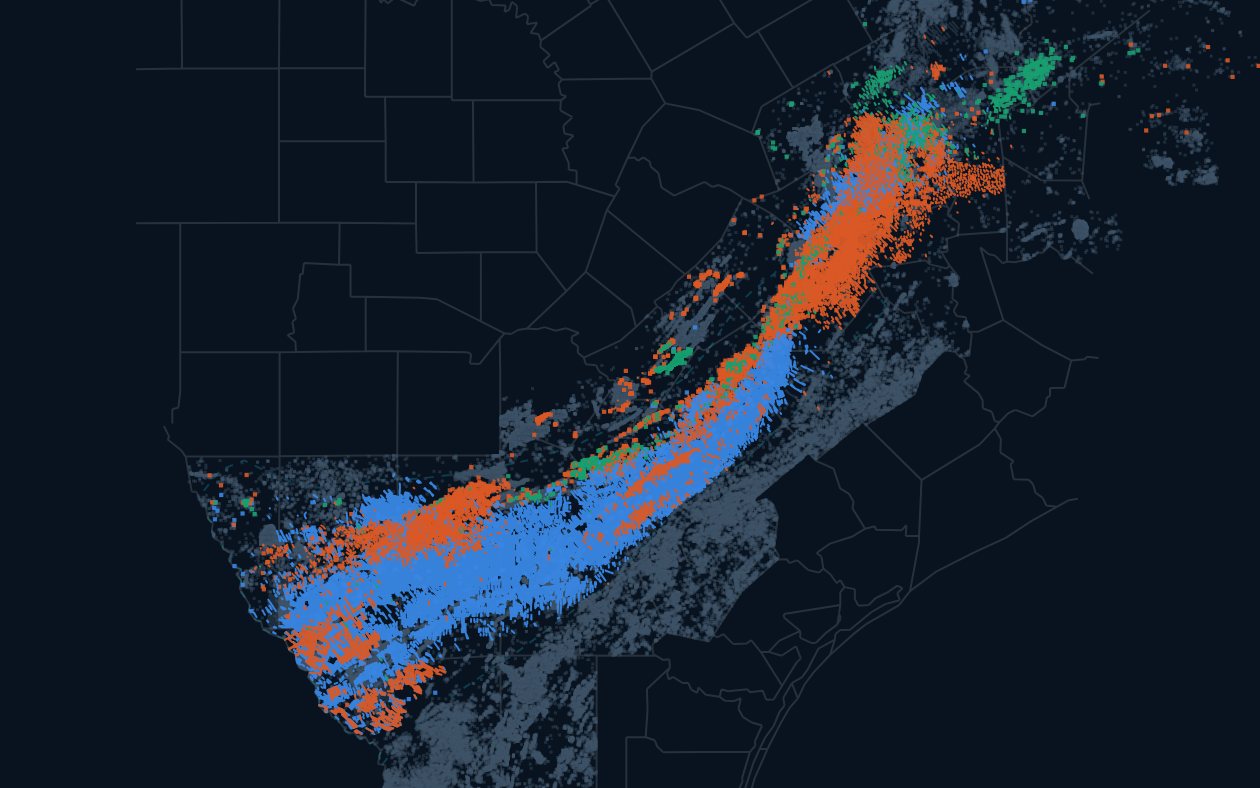
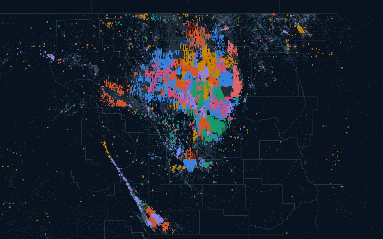
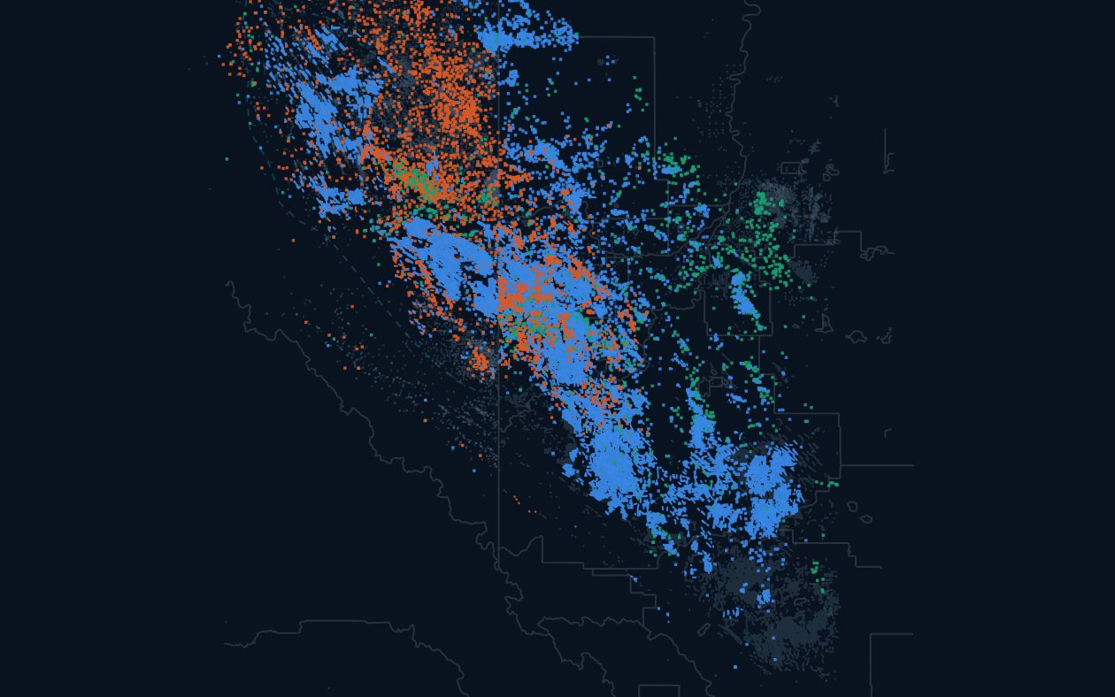
Ten datasets. One key: the wellbore.
Wells & Production
Headers, status, allocated monthly production and derived rates.
Completions
Proppant, fluid, stages, intensity and design vintage.
Directional & Well Geometry
Lateral surveys, heel and toe, lateral length, TVD, azimuth and U-turn laterals.
Geology & Reservoir
Surface tops, thickness, structure, stress and rock quality attributes.
Spacing & Drainage
Measured spacing, parent-child relationships, drainage and encroachment.
Acreage & Land
Sections, leases, company acreage, mineral estate and comps.
Operators
Normalized operator entities, footprints, performance and pace.
Permits & Development Activity
Permits, DUCs, spuds, completions, rigs and first production.
Inventory
Remaining locations by bench, section and operator.
Economics
Costs, prices, taxes, differentials and valuation outputs.
Raw data is a commodity. This is not.
Standardized zones, drainage scores, geological quality, parent-child relationships, spacing measurements, remaining inventory, predicted production, normalized performance, operator benchmarks and development patterns. Hundreds of engineered attributes, on every well.
The intelligence layer- Standardized landing zones
- Drainage and spacing scores
- Geological quality attributes
- Parent-child relationships
- Remaining inventory by bench
- Predicted production for every horizontal
- Normalized well performance
- Operator benchmarks
- Development patterns and pace
- Economic potential per location
Every basin Tessera covers.
Hover a basin on the coverage page to see what is available, then open the basin page.
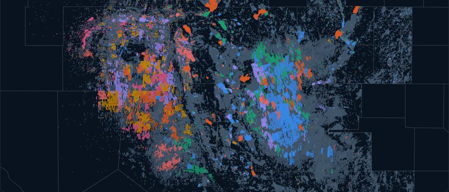
Permian
Texas, New Mexico
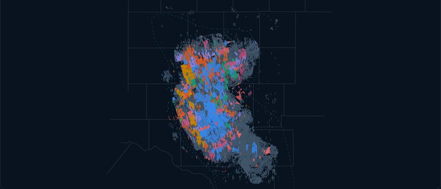
Midland
West Texas
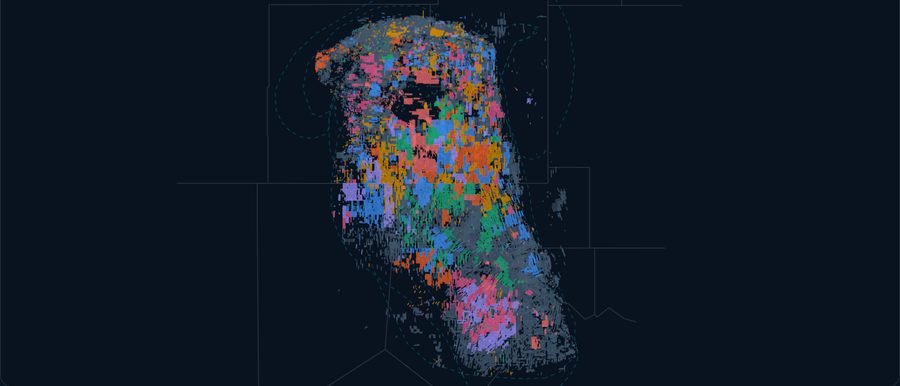
Delaware
West Texas, New Mexico
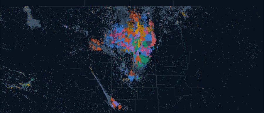
Bakken
North Dakota, Montana
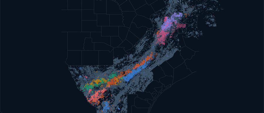
Eagle Ford
South Texas
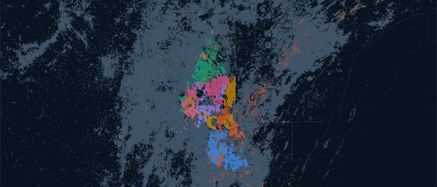
Appalachia
Pennsylvania, Ohio, West Virginia
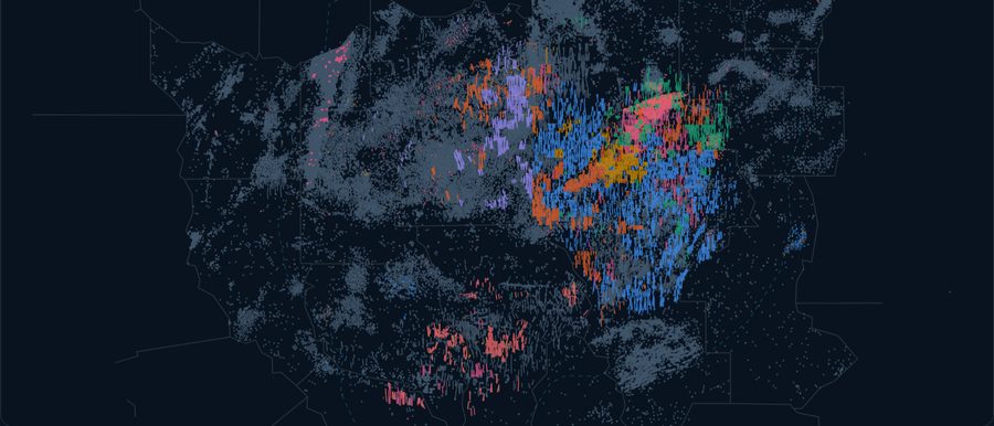
Haynesville
East Texas, Louisiana
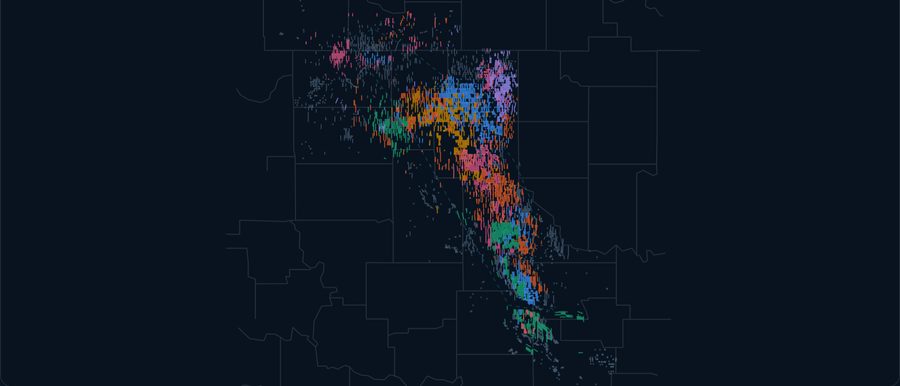
Anadarko
Oklahoma
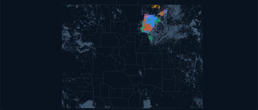
Denver-Julesburg
Colorado, Wyoming
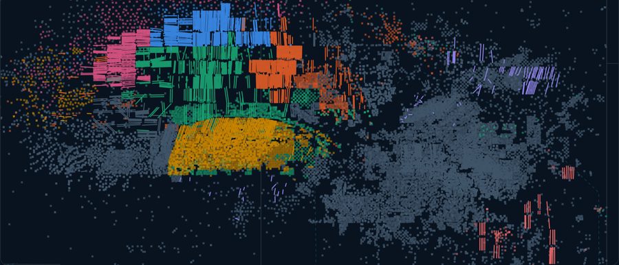
Uinta
Utah
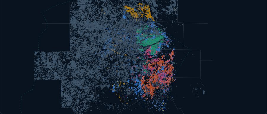
Barnett
North Texas
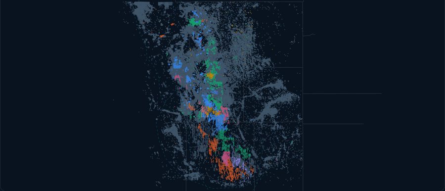
Powder River
Wyoming
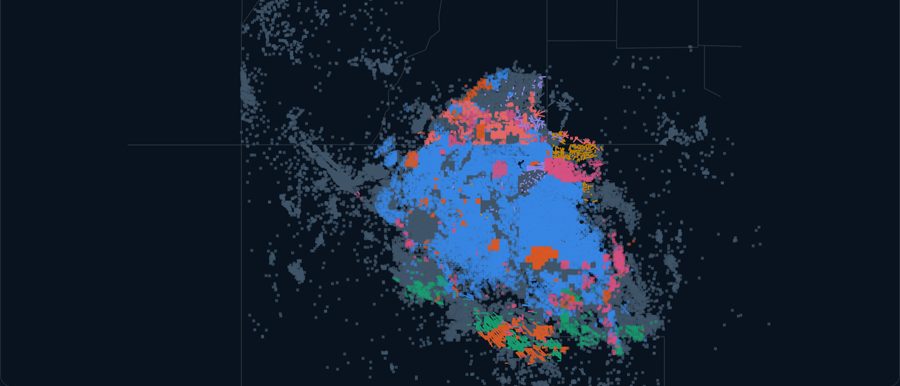
San Juan
New Mexico, Colorado
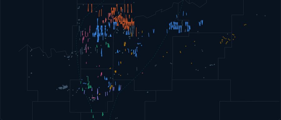
Arkoma
Oklahoma, Arkansas
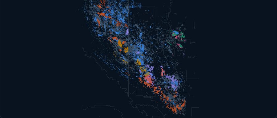
Montney
Alberta, British Columbia
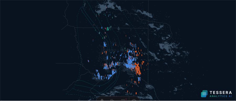
Vaca Muerta
Neuquén, Río Negro, Mendoza
Other U.S. Basins
Lower 48
Need the data without the platform?
Tessera licenses the data layer on its own: files, API or a private database. Ask us about coverage for your basin.