
Data / Directional & Well Geometry
Where the wellbore actually is.
Part of Tessera DataLateral surveys, heel and toe coordinates, lateral length, true vertical depth, azimuth and landing point for every horizontal, including the awkward ones.
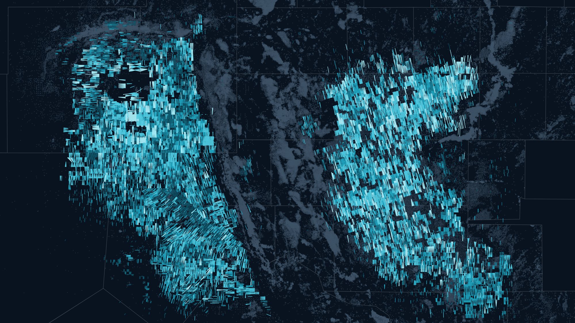
< 5,000 ft5 to 7,5007,500 to 10,00010,000 to 12,500> 12,500 ft

Questions this data answers
Start from the question.
The machinery stays underneath. You ask; Tessera pulls the wells, runs the numbers and shows the map.
- 01How long is the lateral and where does it land?
- 02Which wells share a section with this one?
- 03Where are U-turn laterals being drilled?
What you get
Capabilities
Lateral surveys
Surveyed lateral placement where filings exist, schematic heel-to-toe geometry everywhere else.
Landing zone
Landing point resolved against stratigraphic surfaces, not just the reported formation.
Geometry attributes
Lateral length, azimuth, TVD, toe-up or toe-down, and section overlap.
See your wells and basin in Tessera.
A 30-minute walkthrough on your acreage, your operators or your deal. No slide deck, just the platform.